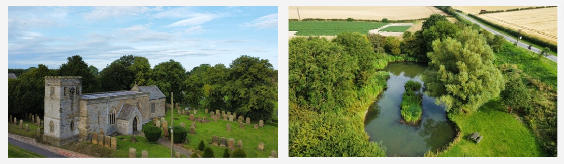
 Image above of All Saints' Church Thwing & Aerial view of Thwing Mere
Welcome to Thwing & Octon Parish Council
Councillor Vacancy - Contact the clerk for details
Thwing & Octon Parish Council consists of 9 Councillors, which include a chairman and vice-chairman.
In addition there is a Clerk who is the Proper Officer and Responsible Finance Officer for the council.
The Parish Council is the first tier of local authority and we work closely with your local council, East Riding of Yorkshire,
to provide services for our parishioners.
Meetings are currently held every month, normally in the Church Rooms at Church Lane, Thwing, and members of the public are welcome to attend. All enquiries should be passed to the clerk.
Anyone wishing to make representation to the Parish Council should contact the clerk
thwing.clerk@outlook.com
Follow us on our Parish Council Facebook Here
About the area
Thwing is a small village on the eastern end of the Yorkshire Wolds, some eight miles from the North Sea. With its associated hamlet of Octon cum Octon Grange, it forms a parish four miles long covering 4,024 acres situated between 300 and 540 feet above sea level.
Opinions are divided as to the origin and meaning of the name Thwing, but most historians favour ‘a strip of high land’, derived from Scandanavian. It is also said to originate from an old Norse word THIGA meaning to speak, implying a local court or meeting place. The finding of a ‘mot’ by archeologists lend support to this theory.
The parish is aligned from the tumulus known as Willy Howe in the east to the prehistoric earthwork in the southwest, and bounded by the Gypsey Race Valley in the north and a Roman road (the High St) in the South.
The pattern of field in the parish has remained largely unchanged from the Inclosure of 1769, and the free-draining wold soil with its underlying chalk subsoil is ideal for cereal growing and sheep production.
Thwing has a long and ancient history and evidence reveals signs of occupation at various times from Neolithic man to the Middle Ages. A dig in 1984 brought to light what could have been the main administration in Anglo-Saxon times and it could well have been the site for the ancient ‘Dic Ring’ administration centre, from which Dickering got its name.
On 13th of December, 1795, a stone weighing 56 pounds, fell within two fields of a house, - So great was the force in its fall that it excavated a place 19 inches deep, and something more than a yard in diameter. It is now lodged in Mr. Sowerby's Museum, Lambeth Road, London. To perpetuate the spot where the stone fell, the late Major Topham erected a pillar, with a plantation around it. The pillar is built over the exact place which the stone excavated, and has this inscription on a tablet:-
Here
on this spot,
December 13th, 1795, fell from the atmosphere,
An extraordinary stone!
In breadth 28 Inches,
In length 30 inches,
and
the weight of which was fifty-six pounds!
This Column
In memory of it, was erected by
Edward Topham,
1799